File:Musée des Augustin, l'aile Darcy - Viollet-le-duc.jpg
Jump to navigation
Jump to search

Size of this preview: 800 × 499 pixels. Other resolutions: 320 × 200 pixels | 640 × 399 pixels | 1,024 × 639 pixels | 1,280 × 799 pixels | 2,560 × 1,597 pixels | 6,303 × 3,933 pixels.
Original file (6,303 × 3,933 pixels, file size: 19.96 MB, MIME type: image/jpeg)
This is a file from the Wikimedia Commons and may be used by other projects. Information from its description page there is shown below.
Commons is a freely licensed media file repository. |
Summary
|
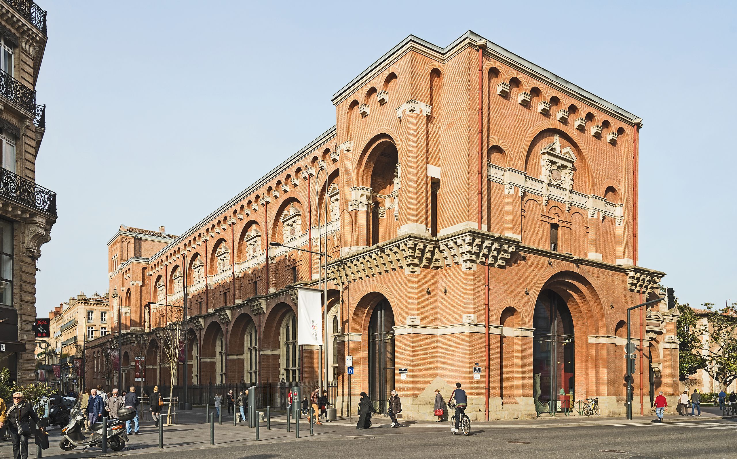
Musée des Augustin, l'aile Darcy - Viollet-le-duc - Southwest exposure | |||||||||||||||||||||||||||||||||||||||||||||
|
| |||||||||||||||||||||||||||||||||||||||||||||


_-_L%27ancienne_entr%C3%A9e_du_Mus%C3%A9e_des_Augustins.jpg)

File history
Click on a date/time to view the file as it appeared at that time.
| Date/Time | Thumbnail | Dimensions | User | Comment | |
|---|---|---|---|---|---|
| current | 08:02, 11 April 2014 | | 6,303 × 3,933 (19.96 MB) | Archaeodontosaurus | {{Information |Description ={{en|1=x}} |Source ={{own}} |Author =Archaeodontosaurus |Date = |Permission = |other_versions = }} |
File usage
There are no pages that use this file.
Global file usage
The following other wikis use this file:
- Usage on arz.wikipedia.org
- Usage on az.wikipedia.org
- Usage on ca.wikipedia.org
- Usage on ca.wikibooks.org
- Usage on de.wikipedia.org
- Usage on en.wikipedia.org
- Usage on eo.wikipedia.org
- Usage on fa.wikipedia.org
- Usage on fr.wikipedia.org
- Usage on it.wikipedia.org
- Usage on it.wikivoyage.org
- Usage on ja.wikipedia.org
- Usage on nl.wikipedia.org
- Usage on nl.wikivoyage.org
- Usage on oc.wikipedia.org
- Usage on pt.wikipedia.org
- Usage on sq.wikipedia.org
- Usage on th.wikipedia.org
- Usage on tr.wikipedia.org
- Usage on uk.wikipedia.org
- Usage on www.wikidata.org
- Usage on zh.wikipedia.org