File:Saint Helena regions map.png
Jump to navigation
Jump to search
Size of this preview: 721 × 600 pixels. Other resolutions: 289 × 240 pixels | 577 × 480 pixels | 923 × 768 pixels | 1,231 × 1,024 pixels | 2,200 × 1,830 pixels.
Original file (2,200 × 1,830 pixels, file size: 790 KB, MIME type: image/png)
This is a file from the Wikimedia Commons and may be used by other projects. Information from its description page there is shown below.
Commons is a freely licensed media file repository. |
Summary
| Description |
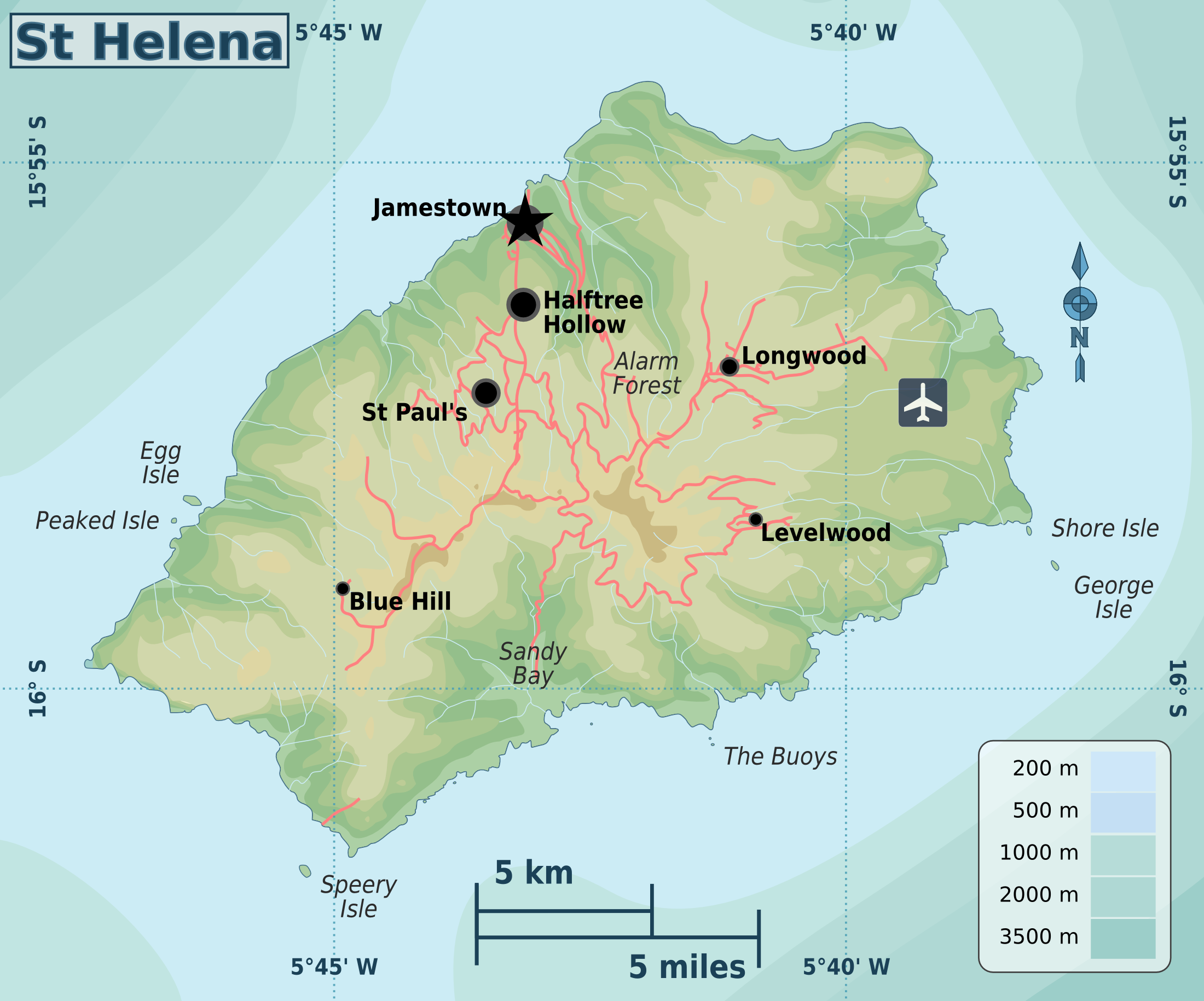
English: Saint Helena travel map |
| Date | |
| Source | File:Saint Helena regions map.svg |
| Author | Oona Räisänen |
Licensing
This file is licensed under the Creative Commons Attribution-Share Alike 3.0 Unported license.
Attribution: GFDL
- You are free:
- to share – to copy, distribute and transmit the work
- to remix – to adapt the work
- Under the following conditions:
- attribution – You must give appropriate credit, provide a link to the license, and indicate if changes were made. You may do so in any reasonable manner, but not in any way that suggests the licensor endorses you or your use.
- share alike – If you remix, transform, or build upon the material, you must distribute your contributions under the same or compatible license as the original.
File history
Click on a date/time to view the file as it appeared at that time.
| Date/Time | Thumbnail | Dimensions | User | Comment | |
|---|---|---|---|---|---|
| current | 03:18, 23 January 2013 | | 2,200 × 1,830 (790 KB) | Peterfitzgerald | User created page with UploadWizard |
File usage
The following page uses this file:
Global file usage
The following other wikis use this file:
- Usage on zh.wikivoyage.org