File:Angola Regions map.png
Jump to navigation
Jump to search

Size of this preview: 583 × 599 pixels. Other resolutions: 234 × 240 pixels | 467 × 480 pixels | 747 × 768 pixels | 996 × 1,024 pixels | 2,500 × 2,569 pixels.
Original file (2,500 × 2,569 pixels, file size: 1.3 MB, MIME type: image/png)
This is a file from the Wikimedia Commons and may be used by other projects. Information from its description page there is shown below.
Commons is a freely licensed media file repository. |
Summary
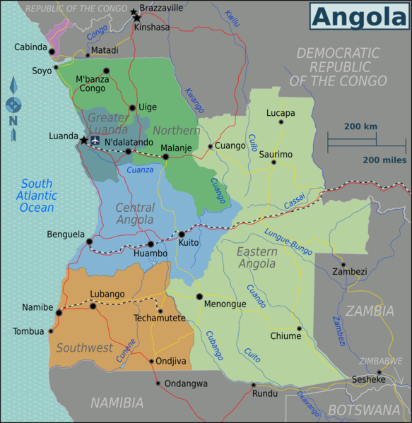
| Description | Regional map of Angola (Wikivoyage regional scheme), English version |
| Date | |
| Source | own work based on the Perry-Castañeda Library Map Collection Angola Maps |
| Author | Burmesedays |
| Other versions |
Licensing
This file is licensed under the Creative Commons Attribution 3.0 Unported license.
- You are free:
- to share – to copy, distribute and transmit the work
- to remix – to adapt the work
- Under the following conditions:
- attribution – You must give appropriate credit, provide a link to the license, and indicate if changes were made. You may do so in any reasonable manner, but not in any way that suggests the licensor endorses you or your use.
Original upload log
| This file was imported from Wikivoyage WTS. |
The original description page was here. All following user names refer to wts.wikivoyage-old.
- 2010-01-27 09:21 (WT-shared) Burmesedays[dead link] 2500×2569 (1320997 bytes) {{Imagecredit|credit=[[user:burmesedays]], [http://www.lib.utexas.edu/maps/angola.html Perry-Castañeda Library Map Collection Angola Maps]| (Import from wikitravel.org/shared)
- 2010-04-25 08:34 (WT-shared) Burmesedays[dead link] 2500×2569 (1363787 bytes) minor fixes (Import from wikitravel.org/shared)
File history
Click on a date/time to view the file as it appeared at that time.
| Date/Time | Thumbnail | Dimensions | User | Comment | |
|---|---|---|---|---|---|
| current | 01:28, 20 January 2013 | | 2,500 × 2,569 (1.3 MB) | Peterfitzgerald | Rename: Central Highlands → Central Angola, split off Lunda Norte & Lunda Sul from North, merge with southwest into new Eastern Angola region. |
| 03:48, 21 November 2012 |  | 2,500 × 2,569 (1.3 MB) | OgreBot | (BOT): Reverting to most recent version before archival | |
| 03:48, 21 November 2012 |  | 2,500 × 2,569 (1.26 MB) | OgreBot | (BOT): Uploading old version of file from wts.wikivoyage; originally uploaded on 2010-01-27 09:21:48 by (WT-shared) Burmesedays | |
| 21:19, 17 November 2012 |  | 2,500 × 2,569 (1.3 MB) | MGA73bot2 | {{BotMoveToCommons|wts.oldwikivoyage|year={{subst:CURRENTYEAR}}|month={{subst:CURRENTMONTHNAME}}|day={{subst:CURRENTDAY}}}} == {{int:filedesc}} == {{Information |description=Map of Angola. Map of Angola, Angola * Map of: Angola¤ |date=January 27th 201... |
File usage
The following 3 pages use this file:
Global file usage
The following other wikis use this file:
- Usage on el.wikivoyage.org
- Usage on fr.wikivoyage.org
- Usage on he.wikivoyage.org
- Usage on incubator.wikimedia.org
- Usage on it.wikivoyage.org
- Usage on ja.wikivoyage.org
- Usage on pt.wikivoyage.org
- Usage on vi.wikivoyage.org
- Usage on zh.wikivoyage.org