File:Brooklyn districts map draft 1.png
Jump to navigation
Jump to search
Size of this preview: 555 × 600 pixels. Other resolutions: 222 × 240 pixels | 444 × 480 pixels | 710 × 768 pixels | 947 × 1,024 pixels | 2,000 × 2,162 pixels.
Original file (2,000 × 2,162 pixels, file size: 960 KB, MIME type: image/png)
This is a file from the Wikimedia Commons and may be used by other projects. Information from its description page there is shown below.
Commons is a freely licensed media file repository. |
Summary
| Description |
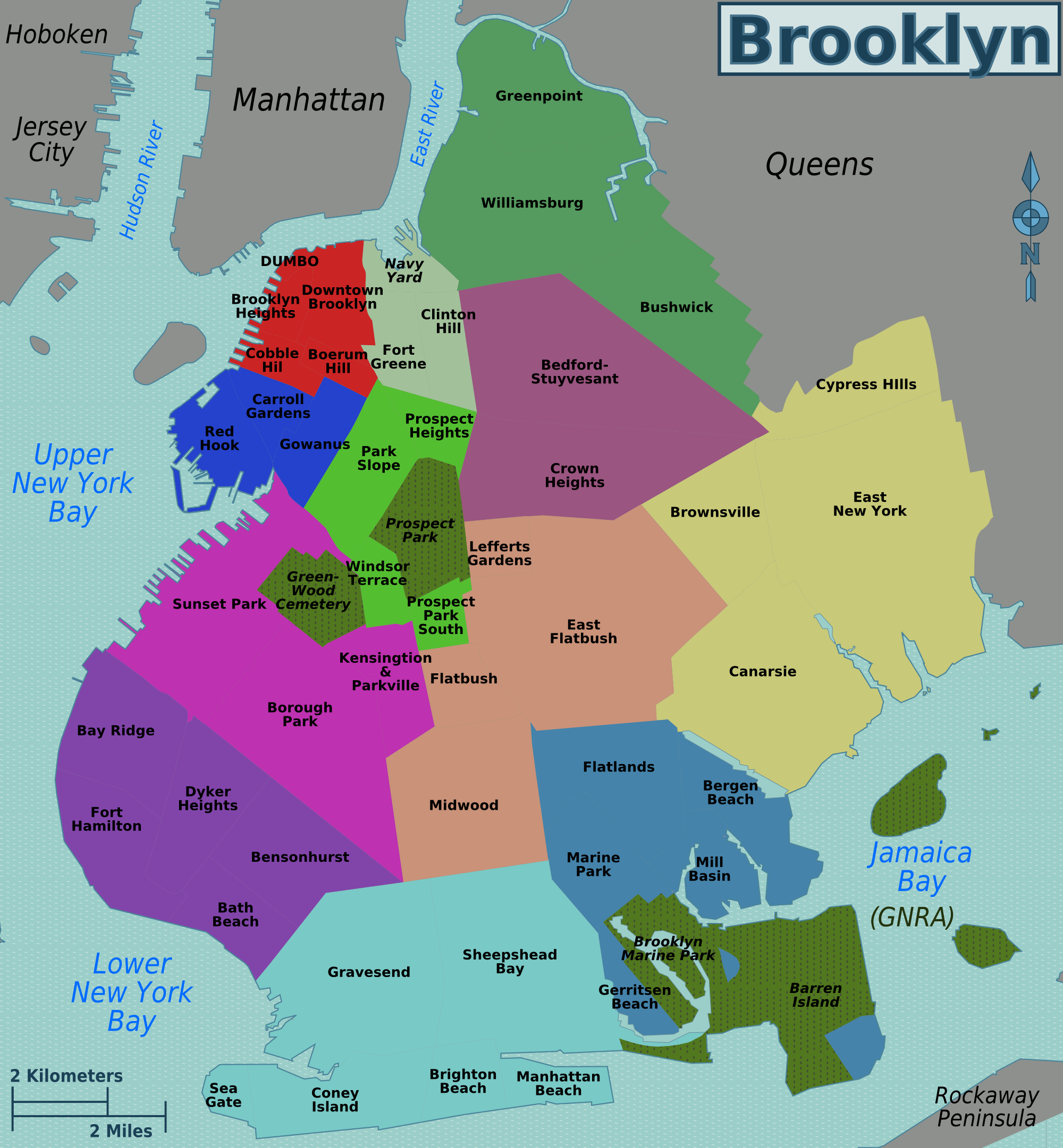
English: Brooklyn districts map. first draft. |
| Date | |
| Source | Own work - Image:Brooklyn neighborhoods map.svg |
| Author | Peter Fitzgerald, OpenStreetMap |
Licensing
This file is licensed under the Creative Commons Attribution 3.0 Unported license.
- You are free:
- to share – to copy, distribute and transmit the work
- to remix – to adapt the work
- Under the following conditions:
- attribution – You must give appropriate credit, provide a link to the license, and indicate if changes were made. You may do so in any reasonable manner, but not in any way that suggests the licensor endorses you or your use.
Original upload log
| This file was imported from Wikivoyage WTS. |
The original description page was here. All following user names refer to wts.wikivoyage-old.
- 2009-11-05 06:41 (WT-shared) Peterfitzgerald archive copy at the Wayback Machine 2000×2162 (983525 bytes) {{Imagecredit|credit=Peter Fitzgerald, [http://openstreetmap.org OpenStreetMap]|captureDate=5 Nov 2009|location=New York|source=[[:Image:Bro (Import from wikitravel.org/shared)
File history
Click on a date/time to view the file as it appeared at that time.
| Date/Time | Thumbnail | Dimensions | User | Comment | |
|---|---|---|---|---|---|
| current | 22:58, 17 November 2012 | | 2,000 × 2,162 (960 KB) | MGA73bot2 | {{BotMoveToCommons|wts.oldwikivoyage|year={{subst:CURRENTYEAR}}|month={{subst:CURRENTMONTHNAME}}|day={{subst:CURRENTDAY}}}} == {{int:filedesc}} == {{Information |description=Brooklyn districts map. first draft, Brooklyn * Map of: Brooklyn¤ |date=5 Nov... |
File usage
The following page uses this file: