File:City of London map 01.svg
Jump to navigation
Jump to search

Size of this PNG preview of this SVG file: 773 × 600 pixels. Other resolutions: 309 × 240 pixels | 619 × 480 pixels | 990 × 768 pixels | 1,280 × 993 pixels | 2,560 × 1,987 pixels | 4,778 × 3,708 pixels.
Original file (SVG file, nominally 4,778 × 3,708 pixels, file size: 16 KB)
This is a file from the Wikimedia Commons and may be used by other projects. Information from its description page there is shown below.
Commons is a freely licensed media file repository. |
Summary
| Description |
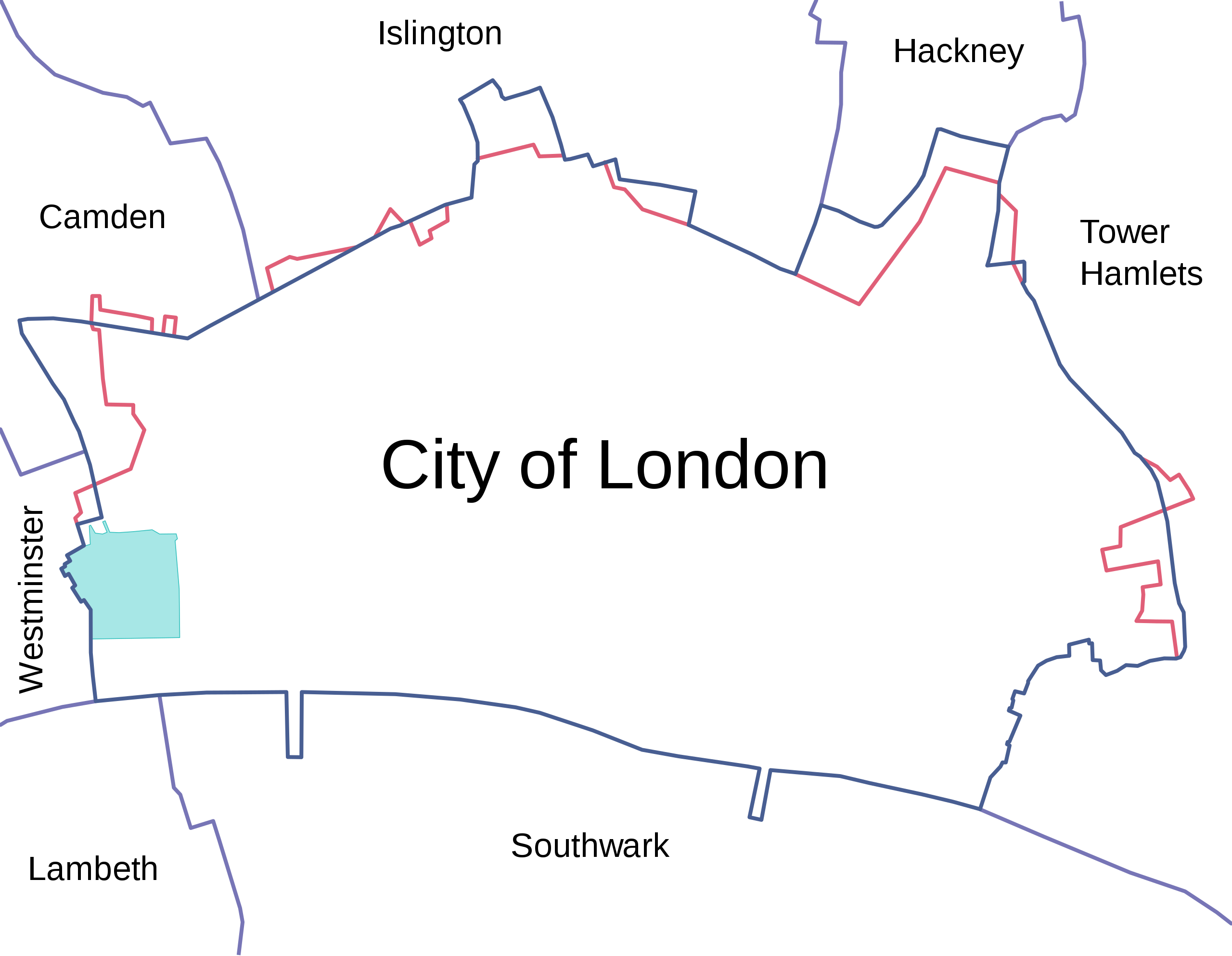
English: Map of the en:City of London, showing surrounding London Boroughs and the pre-1994 boundary (where changed) in red. The area covered by the Inner and Middle Temples is shown in light green.
LicensingDpaajones at English Wikipedia, the copyright holder of this work, hereby publishes it under the following licenses:
This file is licensed under the Creative Commons Attribution-Share Alike 3.0 Unported, 2.5 Generic, 2.0 Generic and 1.0 Generic license. Attribution: Dpaajones at English Wikipedia
You may select the license of your choice. |
||
| Date |
23 January 2008 (original upload date) |
||
| Source |
Own work |
||
| Author |
Dpaajones at English Wikipedia |
||
| Permission (Reusing this file) |
Yes; note that the map has been created with data from en:Ordnance Survey. |

File history
Click on a date/time to view the file as it appeared at that time.
| Date/Time | Thumbnail | Dimensions | User | Comment | |
|---|---|---|---|---|---|
| current | 09:45, 13 March 2010 | | 4,778 × 3,708 (16 KB) | MHz`as | {{Information |Description={{en|1={{Information |Description={{en|Map of the en:City of London, showing surrounding London Boroughs and the pre-1993 boundary (where changed) in red. The area covered by the Inner and Middle Temples is shown in light g |
File usage
The following page uses this file:
Global file usage
The following other wikis use this file:
- Usage on azb.wikipedia.org
- Usage on de.wikipedia.org
- Usage on el.wikipedia.org
- Usage on en.wikipedia.org
- Usage on it.wikipedia.org
- Usage on ru.wikipedia.org
- Usage on sr.wikipedia.org
- Usage on tr.wikipedia.org
- Usage on uk.wikipedia.org