File:Gatineau - QC - Museum of Civilisation3.jpg
Jump to navigation
Jump to search
Size of this preview: 800 × 587 pixels. Other resolutions: 320 × 235 pixels | 640 × 469 pixels | 1,024 × 751 pixels | 1,280 × 939 pixels | 2,560 × 1,878 pixels | 3,768 × 2,764 pixels.
Original file (3,768 × 2,764 pixels, file size: 3.03 MB, MIME type: image/jpeg)
This is a file from the Wikimedia Commons and may be used by other projects. Information from its description page there is shown below.
Commons is a freely licensed media file repository. |
|

Summary
| Description |
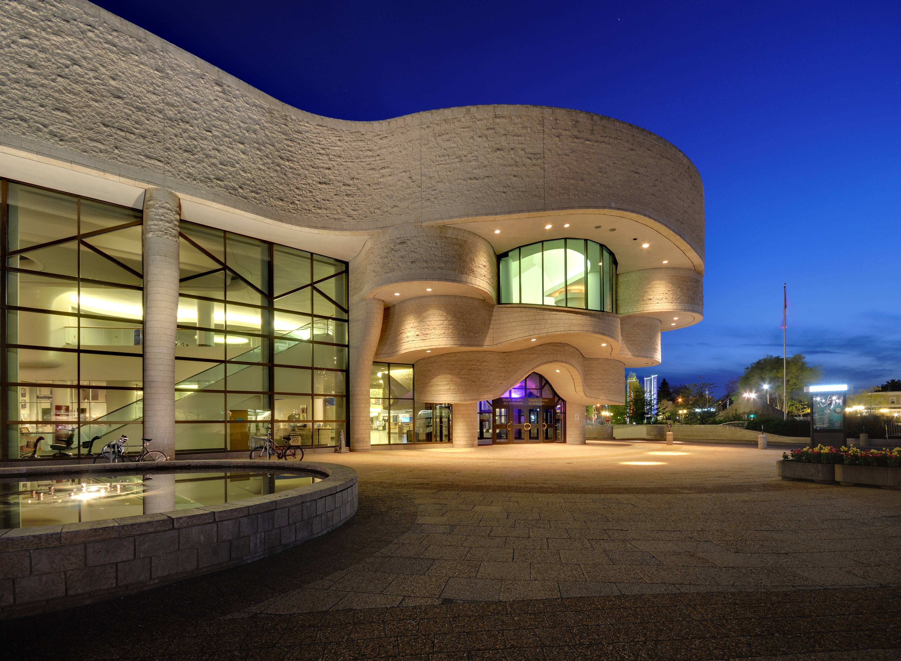
Türkçe: Medeniyet Kanada Müzesi Ziyaretçi giriş
Español: entrada de los visitantes del Museo Canadiense de la Civilización, Gatineau
Polski: Wejście dla gości z Canadian Museum of Civilization, Gatineau
Magyar: Látogatók bejárata a Canadian Museum of Civilization
日本語: カナダ文明博物館
|
| Date | |
| Source | Own work |
| Author | Wladyslaw |
| Camera location | | View this and other nearby images on: OpenStreetMap |
|---|
| Object location | | View this and other nearby images on: OpenStreetMap |
|---|
Licensing
Wladyslaw, the copyright holder of this work, hereby publishes it under the following licenses:
| Copyleft: This work of art is free; you can redistribute it and/or modify it according to terms of the Free Art License. You will find a specimen of this license on the Copyleft Attitude site as well as on other sites. |

|
Permission is granted to copy, distribute and/or modify this document under the terms of the GNU Free Documentation License, Version 1.2 or any later version published by the Free Software Foundation; with no Invariant Sections, no Front-Cover Texts, and no Back-Cover Texts. A copy of the license is included in the section entitled GNU Free Documentation License. |
This file is licensed under the Creative Commons Attribution 3.0 Unported license.
Attribution: Wladyslaw
- You are free:
- to share – to copy, distribute and transmit the work
- to remix – to adapt the work
- Under the following conditions:
- attribution – You must give appropriate credit, provide a link to the license, and indicate if changes were made. You may do so in any reasonable manner, but not in any way that suggests the licensor endorses you or your use.
You may select the license of your choice.
|
The photographical reproduction of this work is covered under s. 32.2(1)(b) of the Copyright Act (Canada), which states:
|
File history
Click on a date/time to view the file as it appeared at that time.
| Date/Time | Thumbnail | Dimensions | User | Comment | |
|---|---|---|---|---|---|
| current | 18:23, 21 November 2010 | | 3,768 × 2,764 (3.03 MB) | Taxiarchos228 | {{Information |Description={{en|1=Canadian Museum of Civilization, Gatineau}} |Source={{own}} |Author=Taxiarchos228 |Date=13. Mai 2009 |Permission= |other_versions= }} Category:Canadian Museum of Civilization |
File usage
The following page uses this file:
Global file usage
The following other wikis use this file:
- Usage on ast.wikipedia.org
- Usage on ca.wikipedia.org
- Usage on de.wikipedia.org
- Kanadas Nationalmuseum für Geschichte und Gesellschaft
- Wikipedia:Exzellente Bilder/Kunst und Kultur
- Portal:Kanada/Galerie
- Portal:Kanada/Galerie/BG
- Portal:Kanada/Artikel und Bilder des Monats
- Portal:Kanada/Artikel und Bilder des Monats/Auswahl und Archiv
- Wikipedia:Kandidaten für exzellente Bilder/Archiv2010/17
- Datei:Gatineau - QC - Museum of Civilisation3.jpg
- Douglas Cardinal
- Usage on en.wikipedia.org
- Gatineau
- Talk:Canadian Museum of History
- National museums of Canada
- Wikipedia:Featured pictures/Places/Architecture
- User talk:Taxiarchos228
- Wikipedia:Featured pictures thumbs/26
- Wikipedia:Featured picture candidates/February-2011
- Wikipedia:Featured picture candidates/Museum of Civilisation
- Wikipedia:Wikipedia Signpost/2011-02-07/Features and admins
- Wikipedia:Picture of the day/August 2012
- User talk:Julia W/Archive 6
- Template:POTD/2012-08-29
- Wikipedia:Main Page history/2012 August 29
- User talk:Julia W/Archive 7
- Indigenous architecture
- Wikipedia:Wikipedia Signpost/Single/2011-02-07
- List of museums in Ottawa
- Portal:The arts/Recognized content
- Portal:Architecture/Recognized content
- Usage on eo.wikipedia.org
- Usage on es.wikipedia.org
- Usage on fa.wikipedia.org
- Usage on fr.wikipedia.org
- Usage on fr.wikivoyage.org
- Usage on hy.wikipedia.org
View more global usage of this file.