File:Kurils map.png
Jump to navigation
Jump to search
Size of this preview: 800 × 559 pixels. Other resolutions: 320 × 224 pixels | 640 × 447 pixels | 1,024 × 716 pixels | 1,280 × 895 pixels | 2,560 × 1,790 pixels | 3,008 × 2,103 pixels.
Original file (3,008 × 2,103 pixels, file size: 713 KB, MIME type: image/png)
This is a file from the Wikimedia Commons and may be used by other projects. Information from its description page there is shown below.
Commons is a freely licensed media file repository. |
Summary
| Description |
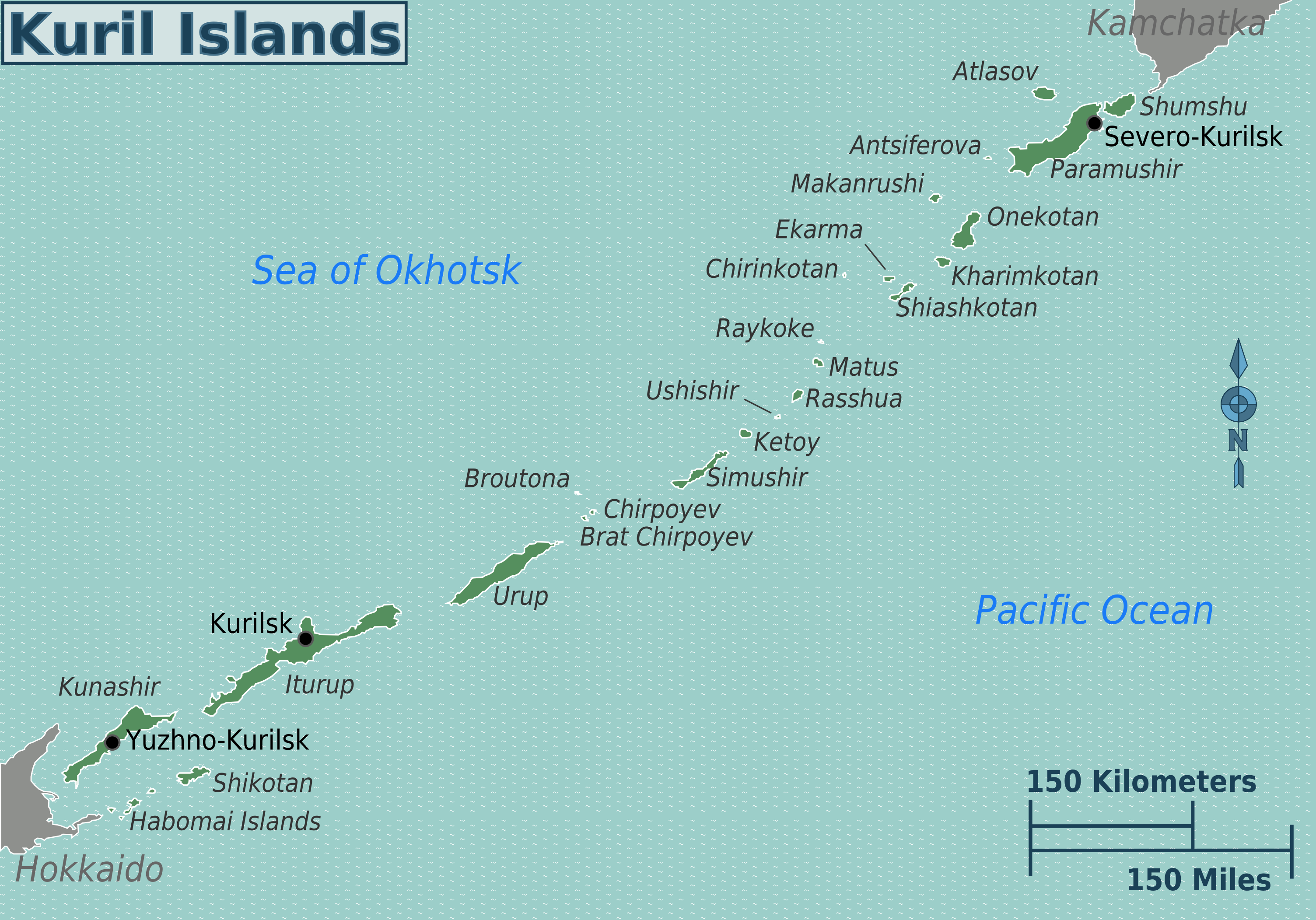
English: Map of the Kuril Islands, Sakhalin Oblast. |
| Date | |
| Source | :Image:Kurils map.svg |
| Author | Peter Fitzgerald |
| Other versions |
|
.png)
.png)
Licensing
| This work has been released into the public domain by its author, User: (WT-shared) Peterfitzgerald at wts wikivoyage. This applies worldwide. In some countries this may not be legally possible; if so: User: (WT-shared) Peterfitzgerald at wts wikivoyage grants anyone the right to use this work for any purpose, without any conditions, unless such conditions are required by law.
|
Original upload log
| This file was imported from Wikivoyage WTS. |
The original description page was here. All following user names refer to wts.wikivoyage-old.
- 2007-04-10 04:14 (WT-shared) Peterfitzgerald archive copy at the Wayback Machine 663×462 (70992 bytes) *Map of the Kuril Islands *for more copyright info, see [http://commons.wikimedia.org/wiki/Image:Demis-kurils-russian_names.png]. (Import from wikitravel.org/shared)
- 2008-03-28 17:31 (WT-shared) Peterfitzgerald archive copy at the Wayback Machine 1001×700 (118288 bytes) fix broken file (Import from wikitravel.org/shared)
- 2009-03-05 01:59 (WT-shared) Sertmann[dead link] 987×688 (116634 bytes) (Import from wikitravel.org/shared)
- 2009-12-28 16:23 (WT-shared) Peterfitzgerald archive copy at the Wayback Machine 3008×2103 (730271 bytes) minor updates (Import from wikitravel.org/shared)
File history
Click on a date/time to view the file as it appeared at that time.
| Date/Time | Thumbnail | Dimensions | User | Comment | |
|---|---|---|---|---|---|
| current | 21:11, 17 November 2012 | | 3,008 × 2,103 (713 KB) | MGA73bot2 | {{BotMoveToCommons|wts.oldwikivoyage|year={{subst:CURRENTYEAR}}|month={{subst:CURRENTMONTHNAME}}|day={{subst:CURRENTDAY}}}} == {{int:filedesc}} == {{Information |description=Map of the Kuril Islands. , Sakhalin Oblast * Map of: Sakhalin Oblast¤ |date=... |
File usage
The following page uses this file:
Global file usage
The following other wikis use this file:
- Usage on fr.wikivoyage.org
- Usage on ja.wikivoyage.org
- Usage on pt.wikivoyage.org
- Usage on zh.wikivoyage.org