File:Nationalpark hohe tauern.png
Jump to navigation
Jump to search
Size of this preview: 800 × 549 pixels. Other resolutions: 320 × 219 pixels | 640 × 439 pixels | 1,024 × 702 pixels | 1,280 × 878 pixels | 2,412 × 1,654 pixels.
Original file (2,412 × 1,654 pixels, file size: 460 KB, MIME type: image/png)
This is a file from the Wikimedia Commons and may be used by other projects. Information from its description page there is shown below.
Commons is a freely licensed media file repository. |
Summary
| Description |
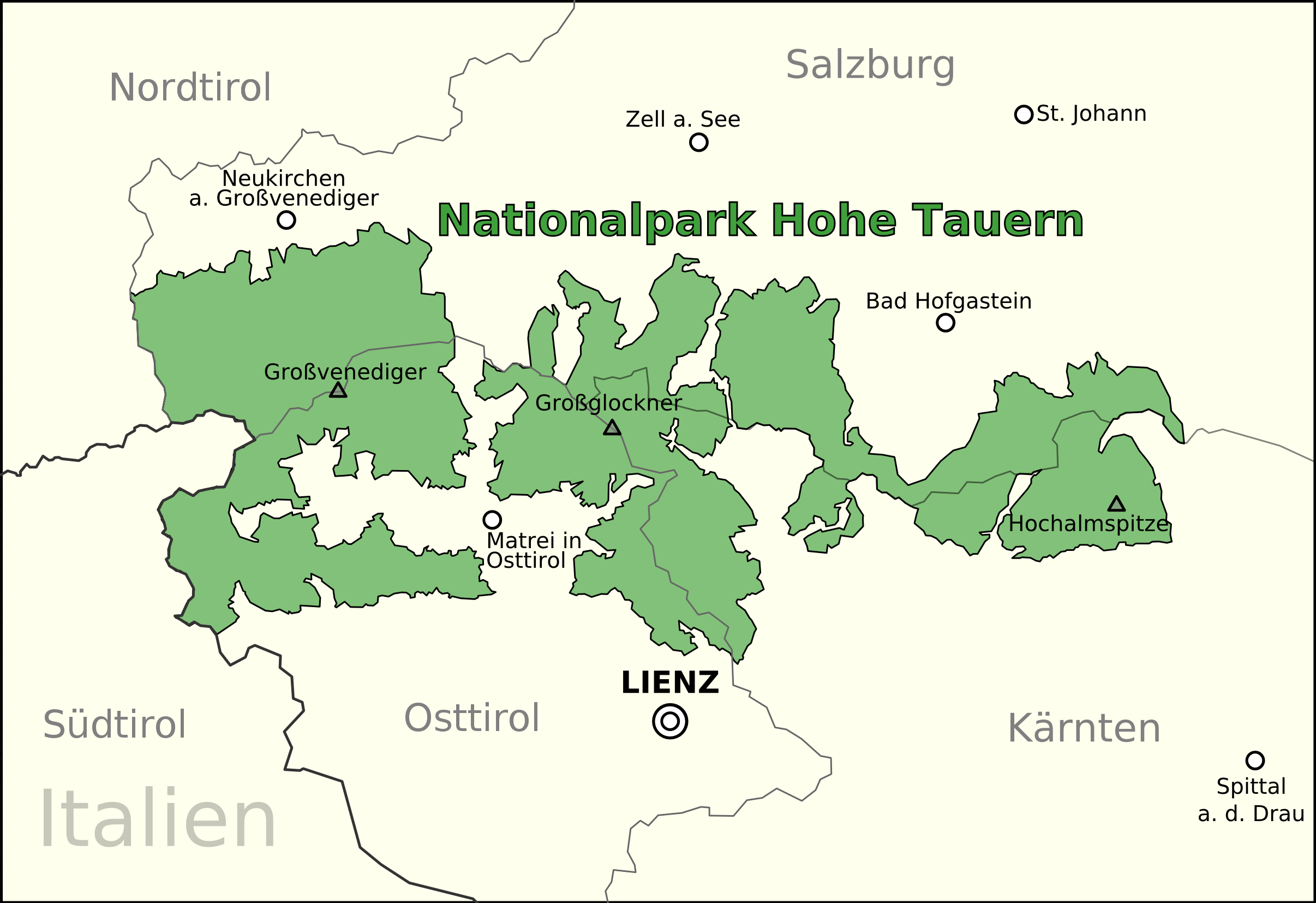
English: Map of the Hohe Tauern Nationalpark in Austria
Deutsch: Karte des Nationalparks Hohe Tauern in Österreich |
| Date | |
| Source | Own work by uploader, based on [1] |
| Author | Anitagraser |
![[1]](http://www.hohetauern.at/dmdocuments/schutzgebietsverbund.jpg)
Licensing
| I, the copyright holder of this work, release this work into the public domain. This applies worldwide. In some countries this may not be legally possible; if so: I grant anyone the right to use this work for any purpose, without any conditions, unless such conditions are required by law. |
File history
Click on a date/time to view the file as it appeared at that time.
| Date/Time | Thumbnail | Dimensions | User | Comment | |
|---|---|---|---|---|---|
| current | 19:39, 23 August 2009 | | 2,412 × 1,654 (460 KB) | Imalipusram | three different Tirols |
| 11:18, 7 December 2008 |  | 2,412 × 1,654 (451 KB) | Anitagraser | {{Information |Description={{en|1=Map of the Hohe Tauern Nationalpark in Austria}} {{de|1=Karte des Nationalparks Hohe Tauern in Österreich}} |Source=Own work by uploader, based on [http://www.hohetauern.at/dmdocuments/schutzgebietsverbund.jpg] |Date=200 | |
| 19:25, 30 August 2008 |  | 2,412 × 1,655 (448 KB) | Anitagraser | {{Information |Description={{en|1=Map of the Hohe Tauern Nationalpark in Austria}} {{de|1=Karte des Nationalparks Hohe Tauern in Österreich}} |Source=Own work by uploader, based on [http://www.hohetauern.at/dmdocuments/schutzgebietsverbund.jpg] |Author=[ |
File usage
The following page uses this file:
Global file usage
The following other wikis use this file:
- Usage on bg.wikipedia.org
- Usage on ca.wikipedia.org
- Usage on cs.wikipedia.org
- Usage on de.wikipedia.org
- Usage on de.wikivoyage.org
- Usage on en.wikipedia.org
- Usage on es.wikipedia.org
- Usage on fi.wikipedia.org
- Usage on he.wikipedia.org
- Usage on he.wikivoyage.org
- Usage on hr.wikipedia.org
- Usage on hu.wikipedia.org
- Usage on hy.wikipedia.org
- Usage on it.wikipedia.org
- Usage on ja.wikipedia.org
- Usage on mk.wikipedia.org
- Usage on nl.wikipedia.org
- Usage on pl.wikipedia.org
- Usage on ro.wikipedia.org
- Usage on sk.wikipedia.org
- Usage on sl.wikipedia.org
- Usage on sv.wikipedia.org
- Usage on uk.wikipedia.org
- Usage on www.wikidata.org
- Usage on zh.wikipedia.org