Bøyabreen
| Bøyabreen | |
|---|---|
 View of Bøyabreen | |
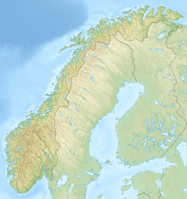
| Location | Vestland, Norway |
| Coordinates | 61°29′44″N 06°45′52″E / 61.49556°N 6.76444°E |
| Highest elevation | 1,700 metres (5,600 ft) |
| Lowest elevation | 300 metres (980 ft) |
Bøyabreen is a glacier in the Fjærland area of Sogndal Municipality in Vestland county, Norway. It is located inside Jostedalsbreen National Park, and it is a side branch of the large Jostedalsbreen glacier.[1][2]
See also[edit]
References[edit]
- ^ Lauritzen, Per Roger, ed. (2009). "Bøyabreen". Norsk Fjelleksikon (in Norwegian). Arendal: Friluftsforlaget. ISBN 978-82-91-49547-7.
- ^ Store norske leksikon. "Bøyabreen" (in Norwegian). Retrieved 2014-02-10.


