File:Brazil regions.png
Jump to navigation
Jump to search
Size of this preview: 681 × 599 pixels. Other resolutions: 273 × 240 pixels | 546 × 480 pixels | 873 × 768 pixels | 1,164 × 1,024 pixels | 1,566 × 1,378 pixels.
Original file (1,566 × 1,378 pixels, file size: 414 KB, MIME type: image/png)
This is a file from the Wikimedia Commons and may be used by other projects. Information from its description page there is shown below.
Commons is a freely licensed media file repository. |
Summary
| Description |
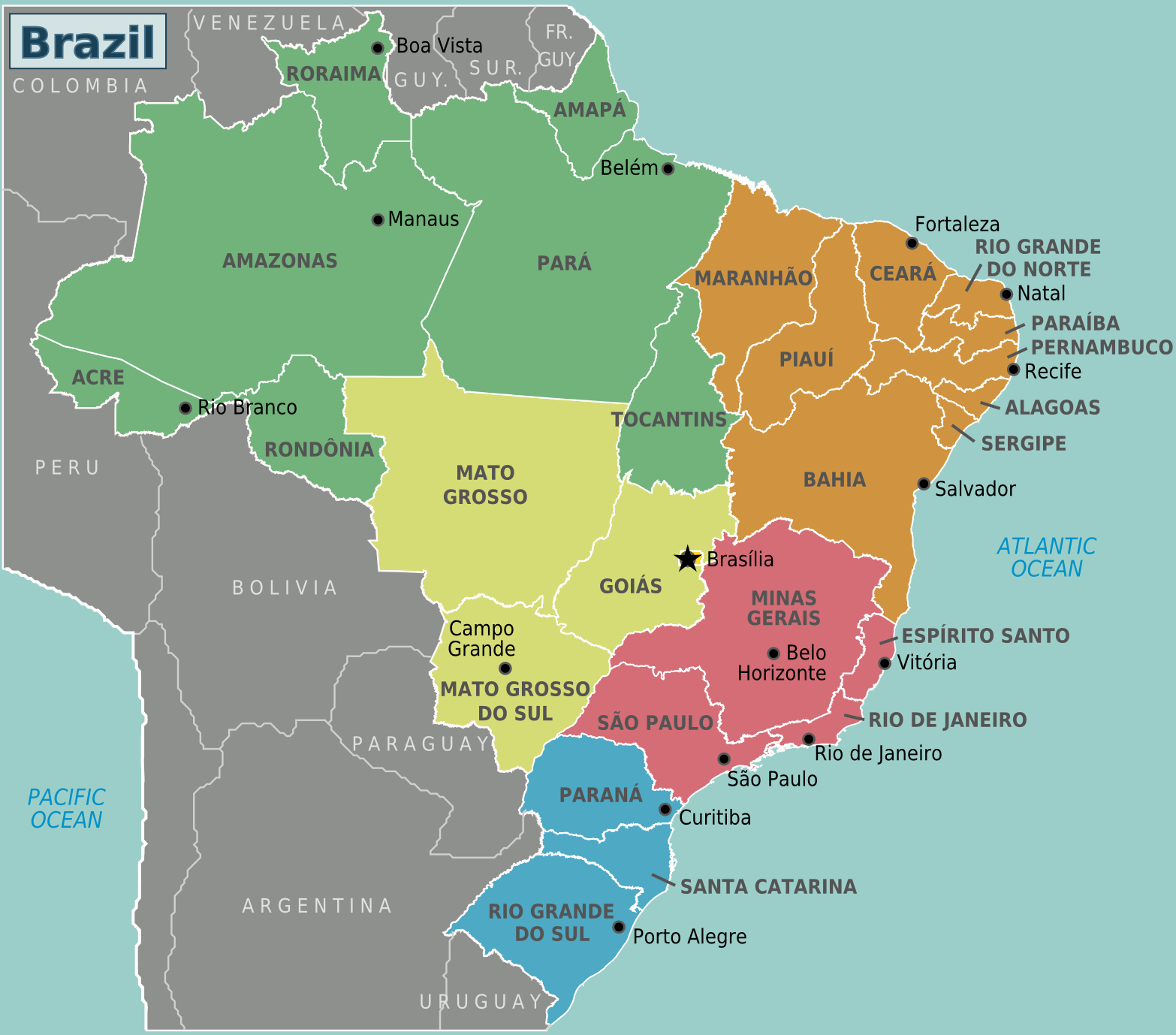
Regions of Brazil (Wikivoyage regional scheme), English version |
| Date | |
| Source | Own work based on the map of Brazil by Felipe Menegaz and OpenStreetMap |
| Author | Stefan Ertmann and João Felipe, amendments by Texugo and Joelf |
| Other versions |
|
.png)
.png)
Licensing
This file is licensed under the Creative Commons Attribution-Share Alike 2.5 Generic license.
- You are free:
- to share – to copy, distribute and transmit the work
- to remix – to adapt the work
- Under the following conditions:
- attribution – You must give appropriate credit, provide a link to the license, and indicate if changes were made. You may do so in any reasonable manner, but not in any way that suggests the licensor endorses you or your use.
- share alike – If you remix, transform, or build upon the material, you must distribute your contributions under the same or compatible license as the original.
Original upload log
| This file was imported from Wikivoyage WTS. |
The original description page was here. All following user names refer to wts.wikivoyage-old.
- 2009-03-16 16:07 (WT-shared) Sertmann[dead link] 780×687 (193018 bytes) {{Imagecredit|credit=Stefan Ertmann and João Felipe|captureDate=March 2009|location=Brazil|source=http://commons.wikimedia.org/wiki/File:Br (Import from wikitravel.org/shared)
- 2009-06-08 04:58 (WT-shared) Peterfitzgerald archive copy at the Wayback Machine 1664×1465 (429546 bytes) switch Suriname & Guyana labels (SVG corrupt, so changes were made directly to the png file) (Import from wikitravel.org/shared)
- 2010-09-23 12:45 (WT-shared) Texugo[dead link] 783×689 (191302 bytes) (Import from wikitravel.org/shared)
- 2010-12-26 05:45 (WT-shared) Joelf[dead link] 780×688 (167358 bytes) Fixed many errors and misspelling. (Import from wikitravel.org/shared)
- 2012-09-11 15:45 Atsirlin[dead link] 1566×1378 (424158 bytes) cleanup
File history
Click on a date/time to view the file as it appeared at that time.
| Date/Time | Thumbnail | Dimensions | User | Comment | |
|---|---|---|---|---|---|
| current | 22:38, 19 November 2012 | | 1,566 × 1,378 (414 KB) | OgreBot | (BOT): Reverting to most recent version before archival |
| 22:38, 19 November 2012 |  | 780 × 688 (163 KB) | OgreBot | (BOT): Uploading old version of file from wts.wikivoyage-old; originally uploaded on 2010-12-26 05:45:30 by (WT-shared) Joelf | |
| 22:38, 19 November 2012 |  | 783 × 689 (187 KB) | OgreBot | (BOT): Uploading old version of file from wts.wikivoyage-old; originally uploaded on 2010-09-23 12:45:49 by (WT-shared) Texugo | |
| 22:38, 19 November 2012 |  | 1,664 × 1,465 (419 KB) | OgreBot | (BOT): Uploading old version of file from wts.wikivoyage-old; originally uploaded on 2009-06-08 04:58:25 by (WT-shared) Peterfitzgerald | |
| 22:38, 19 November 2012 |  | 780 × 687 (188 KB) | OgreBot | (BOT): Uploading old version of file from wts.wikivoyage-old; originally uploaded on 2009-03-16 16:07:07 by (WT-shared) Sertmann | |
| 22:56, 17 November 2012 |  | 1,566 × 1,378 (414 KB) | MGA73bot2 | {{BotMoveToCommons|wts.oldwikivoyage|year={{subst:CURRENTYEAR}}|month={{subst:CURRENTMONTHNAME}}|day={{subst:CURRENTDAY}}}} == {{int:filedesc}} == {{Information |description=Map of Brazil. Map of Brazil with regions and major cities<br>SVG version:[[:w... |
File usage
There are no pages that use this file.
Global file usage
The following other wikis use this file:
- Usage on pt.wikibooks.org