File:Dumfries and Galloway map.png
Jump to navigation
Jump to search
Size of this preview: 800 × 500 pixels. Other resolutions: 320 × 200 pixels | 640 × 400 pixels | 1,024 × 640 pixels | 1,411 × 882 pixels.
Original file (1,411 × 882 pixels, file size: 33 KB, MIME type: image/png)
This is a file from the Wikimedia Commons and may be used by other projects. Information from its description page there is shown below.
Commons is a freely licensed media file repository. |
Summary
| Description |
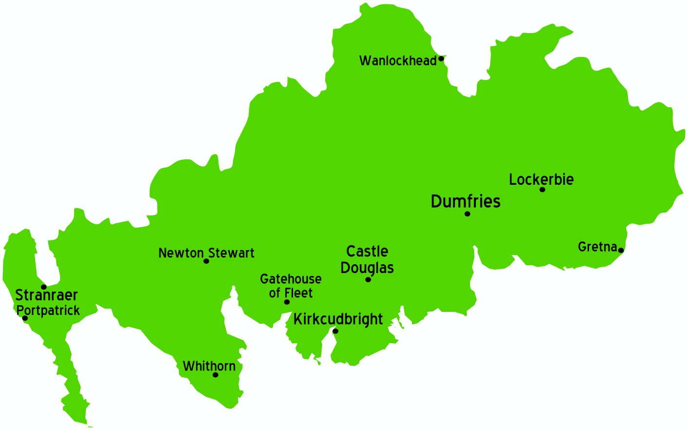
English: Map of Dumfries and Galloway, Scotland |
| Date | 26 November 2006 (original upload date) |
| Source | Map of: Scotland: :Image:UK map.svg (most likely the name on wts) |
| Author | User: (WT-shared) Paul. at wts wikivoyage |
| Location | Dumfries and Galloway |
Licensing
This file is licensed under the Creative Commons Attribution-Share Alike 1.0 Generic license.
- You are free:
- to share – to copy, distribute and transmit the work
- to remix – to adapt the work
- Under the following conditions:
- attribution – You must give appropriate credit, provide a link to the license, and indicate if changes were made. You may do so in any reasonable manner, but not in any way that suggests the licensor endorses you or your use.
- share alike – If you alter, transform, or build upon this work, you must distribute the resulting work under the same license as the original.
Original upload log
| This file was imported from Wikivoyage WTS. |
The original description page was here. All following user names refer to wts.wikivoyage-old.
- 2006-11-26 13:25 (WT-shared) Paul.[dead link] 1411×882 (34223 bytes) Map of Dumfries and Galloway Source: [[:Image:UK map.svg]] (Import from wikitravel.org/shared)
File history
Click on a date/time to view the file as it appeared at that time.
| Date/Time | Thumbnail | Dimensions | User | Comment | |
|---|---|---|---|---|---|
| current | 23:28, 17 November 2012 | | 1,411 × 882 (33 KB) | MGA73bot2 | {{BotMoveToCommons|wts.oldwikivoyage|year={{subst:CURRENTYEAR}}|month={{subst:CURRENTMONTHNAME}}|day={{subst:CURRENTDAY}}}} == {{int:filedesc}} == {{Information |description=Map of Dumfries and Galloway {{map|Scotland}} * Map of: Scotland¤ Source: [[... |
File usage
The following page uses this file:
Global file usage
The following other wikis use this file:
- Usage on ce.wikipedia.org
- Usage on it.wikivoyage.org
- Usage on kk.wikipedia.org