File:Easter Island map.png
Jump to navigation
Jump to search

Size of this preview: 800 × 583 pixels. Other resolutions: 320 × 233 pixels | 640 × 467 pixels | 1,024 × 747 pixels | 1,280 × 933 pixels | 1,496 × 1,091 pixels.
Original file (1,496 × 1,091 pixels, file size: 482 KB, MIME type: image/png)
This is a file from the Wikimedia Commons and may be used by other projects. Information from its description page there is shown below.
Commons is a freely licensed media file repository. |
Summary
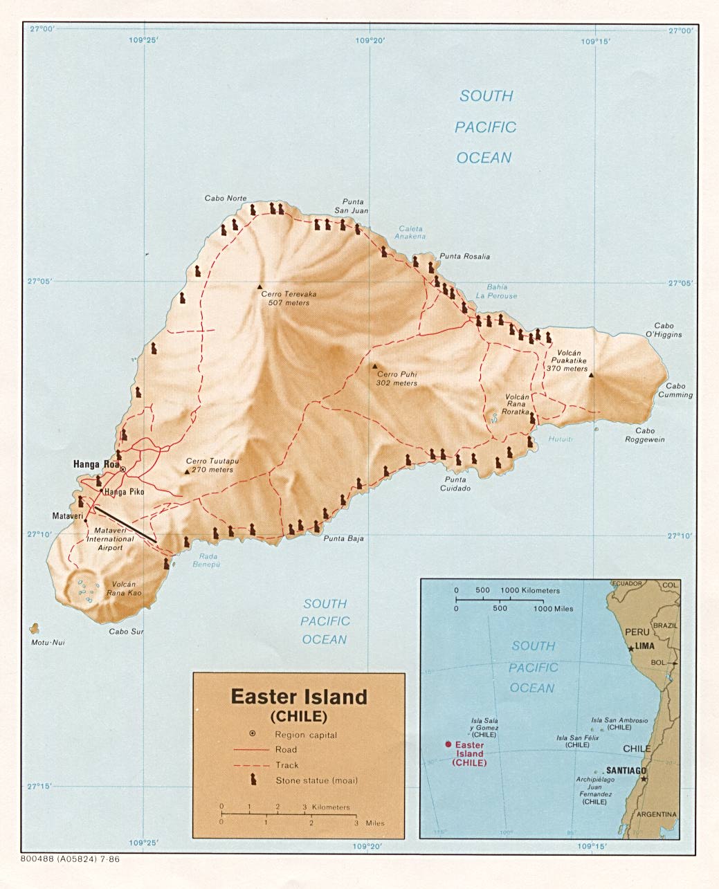
| Description | Map of Easter Island for use on Wikivoyage, English version |
| Date | |
| Source | Own work based on the map of Easter Island |
| Author | Todd VerBee, amendments by Joelf and Claude Zygiel (see File:Te Pito o te Henua.jpg) |
| Other versions |
.png)
.png)
Licensing
This file is licensed under the Creative Commons Attribution-Share Alike 1.0 Generic license.
- You are free:
- to share – to copy, distribute and transmit the work
- to remix – to adapt the work
- Under the following conditions:
- attribution – You must give appropriate credit, provide a link to the license, and indicate if changes were made. You may do so in any reasonable manner, but not in any way that suggests the licensor endorses you or your use.
- share alike – If you alter, transform, or build upon this work, you must distribute the resulting work under the same license as the original.
Original upload log
| This file was imported from Wikivoyage WTS. |
The original description page was here. All following user names refer to wts.wikivoyage-old.
- 2008-07-10 19:28 (WT-shared) Geisterfahrer[dead link] 1024×743 (39500 bytes) {{Imagecredit|credit=from en Wikitravel|captureDate=4 May 2006|location=Easter Island|source=http://wikitravel.org/en/Image:Easter_Island_ma (Import from wikitravel.org/shared)
- 2009-07-23 04:03 (WT-shared) Peterfitzgerald archive copy at the Wayback Machine 1500×1094 (348295 bytes) update colors, fonts, icons (Import from wikitravel.org/shared)
- 2011-10-07 06:47 (WT-shared) Joelf[dead link] 1496×1091 (531223 bytes) + all archeological site names and water names (Import from wikitravel.org/shared)
- 2011-10-09 03:41 (WT-shared) Joelf[dead link] 1496×1091 (556770 bytes) +Ana Kakenga (Import from wikitravel.org/shared)
File history
Click on a date/time to view the file as it appeared at that time.
| Date/Time | Thumbnail | Dimensions | User | Comment | |
|---|---|---|---|---|---|
| current | 18:14, 18 July 2022 | | 1,496 × 1,091 (482 KB) | Claude Zygiel | Added central ''marae'' and Motu iti island |
| 21:36, 22 November 2012 |  | 1,496 × 1,091 (544 KB) | OgreBot | (BOT): Reverting to most recent version before archival | |
| 21:36, 22 November 2012 |  | 1,496 × 1,091 (519 KB) | OgreBot | (BOT): Uploading old version of file from wts.wikivoyage-old; originally uploaded on 2011-10-07 06:47:16 by (WT-shared) Joelf | |
| 21:35, 22 November 2012 |  | 1,500 × 1,094 (340 KB) | OgreBot | (BOT): Uploading old version of file from wts.wikivoyage-old; originally uploaded on 2009-07-23 04:03:00 by (WT-shared) Peterfitzgerald | |
| 21:35, 22 November 2012 |  | 1,024 × 743 (39 KB) | OgreBot | (BOT): Uploading old version of file from wts.wikivoyage-old; originally uploaded on 2008-07-10 19:28:32 by (WT-shared) Geisterfahrer | |
| 23:32, 17 November 2012 |  | 1,496 × 1,091 (544 KB) | MGA73bot2 | {{BotMoveToCommons|wts.oldwikivoyage|year={{subst:CURRENTYEAR}}|month={{subst:CURRENTMONTHNAME}}|day={{subst:CURRENTDAY}}}} == {{int:filedesc}} == {{Information |description=Map of Easter Island. PNG English version, Easter Island * Map of: Easter Isla... |
File usage
There are no pages that use this file.
Global file usage
The following other wikis use this file:
- Usage on de.wikipedia.org
- Usage on fr.wikipedia.org
- Usage on he.wikipedia.org
- Usage on incubator.wikimedia.org
- Usage on it.wikivoyage.org
- Usage on pt.wikivoyage.org