File:Farol de Santa Marta.jpg
Jump to navigation
Jump to search

Size of this preview: 800 × 532 pixels. Other resolutions: 320 × 213 pixels | 640 × 426 pixels | 1,024 × 681 pixels | 1,280 × 851 pixels | 2,560 × 1,702 pixels | 3,104 × 2,064 pixels.
Original file (3,104 × 2,064 pixels, file size: 1.82 MB, MIME type: image/jpeg)
This is a file from the Wikimedia Commons and may be used by other projects. Information from its description page there is shown below.
Commons is a freely licensed media file repository. |
Summary
| Description |
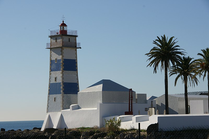
Português: Farol de Santa Marta
English: Santa Marta Lighthouse
|
||||||||||
| Date | |||||||||||
| Source | Own work | ||||||||||
| Author | Jaime Silva |
| Object location | | View this and other nearby images on: OpenStreetMap |
|---|
Licensing
I, the copyright holder of this work, hereby publish it under the following license:
This file is licensed under the Creative Commons Attribution-Share Alike 3.0 Unported license.
- You are free:
- to share – to copy, distribute and transmit the work
- to remix – to adapt the work
- Under the following conditions:
- attribution – You must give appropriate credit, provide a link to the license, and indicate if changes were made. You may do so in any reasonable manner, but not in any way that suggests the licensor endorses you or your use.
- share alike – If you remix, transform, or build upon the material, you must distribute your contributions under the same or compatible license as the original.

|
This image was uploaded as part of Wiki Loves Monuments 2011.
|
 |
 |
This picture has been nominated for the Wiki Loves Monuments international finals by the national contest in Portugal . source
|
File history
Click on a date/time to view the file as it appeared at that time.
| Date/Time | Thumbnail | Dimensions | User | Comment | |
|---|---|---|---|---|---|
| current | 18:36, 15 September 2011 | | 3,104 × 2,064 (1.82 MB) | Jaimrsilva |
File usage
The following page uses this file:
Global file usage
The following other wikis use this file:
- Usage on da.wikipedia.org
- Usage on de.wikipedia.org
- Usage on en.wikipedia.org
- Usage on he.wikivoyage.org
- Usage on id.wikipedia.org
- Usage on nl.wikipedia.org
- Usage on pl.wikinews.org
- Usage on pt.wikipedia.org
- Usage on pt.wikimedia.org
- Usage on se.wikimedia.org
- Usage on www.wikidata.org