File:Longmire Administration Building (2015).jpg

Original file (4,500 × 3,000 pixels, file size: 10.83 MB, MIME type: image/jpeg)
This is a file from the Wikimedia Commons and may be used by other projects. Information from its description page there is shown below.
Commons is a freely licensed media file repository. |
.jpg)
Summary
| Description |
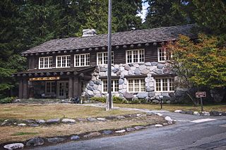
English: Longmire Administration Building (Longmire, WA)
| ||||
| NRHP | Longmire Buildings (1887)
Longmire Historic District (1991)
|
||||
| Date | Taken on 5 September 2015, 15:03:03 | ||||
| Source | Own work | ||||
| Author | Steven Pavlov | ||||
| Permission (Reusing this file) |
Please do not copy this image illegally by ignoring the terms of the license. This file is licensed under the Creative Commons Attribution-Share Alike 4.0 International license.
| ||||
| Attribution (required by the license) | © Steven Pavlov / https://commons.wikimedia.org/wiki/User:Senapa / | ||||
| Camera location | | View this and other nearby images on: OpenStreetMap |
|---|
.jpg¶ms=046.750003_N_-121.811999_E_globe:Earth_type:camera__&language=en)

|
This image was uploaded as part of Wiki Loves Monuments 2016.
|
 |
File history
Click on a date/time to view the file as it appeared at that time.
| Date/Time | Thumbnail | Dimensions | User | Comment | |
|---|---|---|---|---|---|
| current | 19:38, 15 September 2016 | | 4,500 × 3,000 (10.83 MB) | Senapa | User created page with UploadWizard |
File usage
There are no pages that use this file.
Global file usage
The following other wikis use this file:
- Usage on en.wikipedia.org
- Usage on fr.wikipedia.org
- Usage on he.wikipedia.org
- Usage on www.wikidata.org
.jpg)