File:Main east of Columbus in downtown Lancaster.jpg
Jump to navigation
Jump to search
Size of this preview: 800 × 450 pixels. Other resolutions: 320 × 180 pixels | 640 × 360 pixels | 1,024 × 576 pixels | 1,280 × 720 pixels | 2,816 × 1,584 pixels.
Original file (2,816 × 1,584 pixels, file size: 1.12 MB, MIME type: image/jpeg)
This is a file from the Wikimedia Commons and may be used by other projects. Information from its description page there is shown below.
Commons is a freely licensed media file repository. |
|
This is an image of a place or building that is listed on the National Register of Historic Places in the United States of America. Its reference number is 79001830. |
| Camera location | | View this and other nearby images on: OpenStreetMap |
|---|
| Description |
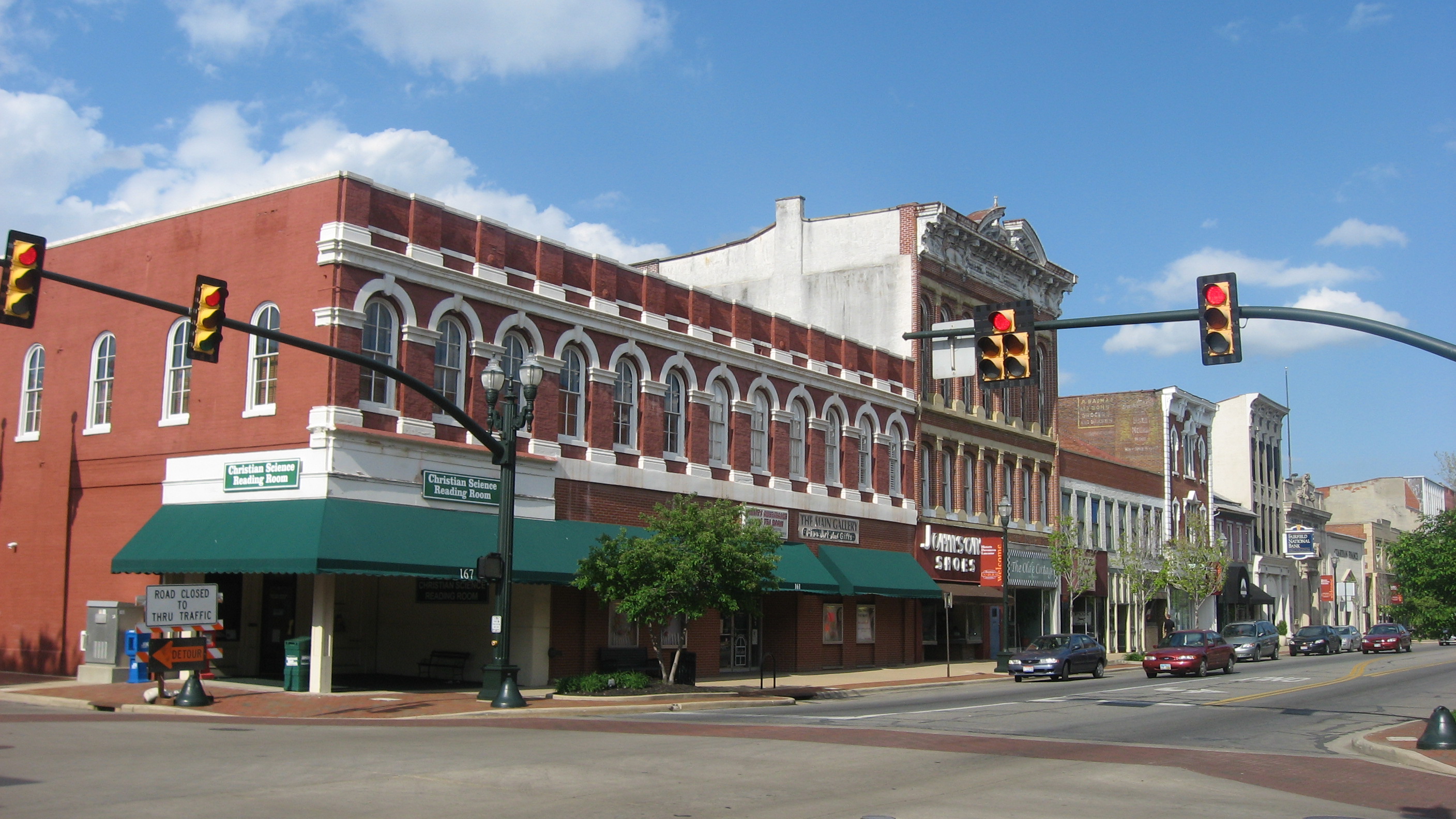
English: Buildings on the northern side of W. Main Street (U.S. Route 22/State Route 188) in Lancaster, Ohio, United States, seen looking eastward from the Columbus Street intersection. This block is part of the Lancaster West Main Street Historic District, a historic district that is listed on the National Register of Historic Places. |
||
| Date | Taken on 13 May 2013 | ||
| Source | Own work | ||
| Author | Nyttend | ||
| Permission (Reusing this file) |
|
||
| Other versions |
_banner_Main_Street.jpg)
File history
Click on a date/time to view the file as it appeared at that time.
| Date/Time | Thumbnail | Dimensions | User | Comment | |
|---|---|---|---|---|---|
| current | 00:18, 21 May 2013 | | 2,816 × 1,584 (1.12 MB) | Nyttend | {{NRHP|79001830}} {{Location|39|42|50|N|82|36|16|W}} {{Information |Description={{en|Buildings on the northern side of W. Main Street ({{w|U.S. Route 22}}/{{w|Ohio State Route 188|State Route 188}}) in {{w|Lancaster, Ohio|Lancaster}}, {{w|Ohio}}, {{w|U... |
File usage
There are no pages that use this file.
Global file usage
The following other wikis use this file:
- Usage on en.wikipedia.org