File:Moldova location map.svg
Jump to navigation
Jump to search

Size of this PNG preview of this SVG file: 488 × 600 pixels. Other resolutions: 195 × 240 pixels | 390 × 480 pixels | 625 × 768 pixels | 833 × 1,024 pixels | 1,666 × 2,048 pixels | 990 × 1,217 pixels.
Original file (SVG file, nominally 990 × 1,217 pixels, file size: 87 KB)
This is a file from the Wikimedia Commons and may be used by other projects. Information from its description page there is shown below.
Commons is a freely licensed media file repository. |
Summary
| Description |
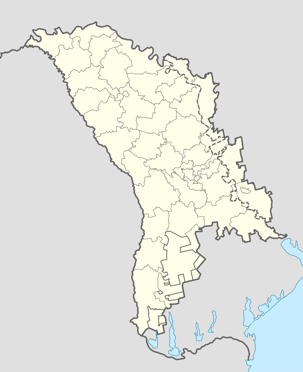
Deutsch: Positionskarte von Moldawien
Quadratische Plattkarte, N-S-Streckung 140 %. Geographische Begrenzung der Karte:
English: Location map of Moldova
Equirectangular projection, N/S stretching 140 %. Geographic limits of the map:
|
| Date | |
| Source | own work, using World Data Base II data |
| Author | NordNordWest |
| Other versions | Zone de opratii raioane RM.svg |

|
This map has been made or improved in the German Kartenwerkstatt (Map Lab). You can propose maps to improve as well.
|
Licensing
I, the copyright holder of this work, hereby publish it under the following licenses:

|
Permission is granted to copy, distribute and/or modify this document under the terms of the GNU Free Documentation License, Version 1.2 or any later version published by the Free Software Foundation; with no Invariant Sections, no Front-Cover Texts, and no Back-Cover Texts. A copy of the license is included in the section entitled GNU Free Documentation License. |
This file is licensed under the Creative Commons Attribution-Share Alike 3.0 Unported license.
- You are free:
- to share – to copy, distribute and transmit the work
- to remix – to adapt the work
- Under the following conditions:
- attribution – You must give appropriate credit, provide a link to the license, and indicate if changes were made. You may do so in any reasonable manner, but not in any way that suggests the licensor endorses you or your use.
- share alike – If you remix, transform, or build upon the material, you must distribute your contributions under the same or compatible license as the original.
You may select the license of your choice.
File history
Click on a date/time to view the file as it appeared at that time.
| Date/Time | Thumbnail | Dimensions | User | Comment | |
|---|---|---|---|---|---|
| current | 13:40, 17 November 2012 | | 990 × 1,217 (87 KB) | NordNordWest | upd |
| 11:34, 17 November 2012 |  | 990 × 1,217 (82 KB) | NordNordWest | Reverted to version as of 18:58, 17 April 2011 | |
| 10:00, 17 November 2012 |  | 512 × 512 (133 KB) | Spiridon Ion Cepleanu | Real limits of Transnistria (with parts of Anenii Noi & Causeni rayons on the south side of Dniestr) and rayons of Transnistria (de jure, rayons of Moldova). | |
| 09:57, 17 November 2012 |  | 512 × 512 (133 KB) | Spiridon Ion Cepleanu | Real limits of Transnistria (with parts of Anenii Noi & Causeni rayons on the south side of Dniestr) and rayons of Transnistria (de jure, rayons of Moldova). | |
| 18:58, 17 April 2011 |  | 990 × 1,217 (82 KB) | NordNordWest | upd | |
| 08:30, 29 August 2008 |  | 992 × 1,217 (146 KB) | NordNordWest | ||
| 18:56, 17 July 2008 |  | 331 × 406 (144 KB) | NordNordWest | ||
| 19:37, 16 July 2008 |  | 331 × 406 (144 KB) | NordNordWest | ||
| 19:37, 16 July 2008 |  | 331 × 406 (144 KB) | NordNordWest | ||
| 19:31, 16 July 2008 |  | 331 × 406 (144 KB) | NordNordWest | {{Information |Description= {{de|Positionskarte von Moldawien}} Quadratische Plattkarte, N-S-Streckung 140 %. Geographische Begrenzung der Karte: * N: 48.7° N * S: 45.1° N * W: 26.3° O * O: 30.4° O {{en|Location map of [[:en:Moldova| |
File usage
There are no pages that use this file.
Global file usage
The following other wikis use this file:
- Usage on af.wikipedia.org
- Usage on ar.wikipedia.org
- Usage on be-tarask.wikipedia.org
- Кішынёў
- Тыраспаль
- Бэлц
- Рашкаў
- Шаблён:Лякалізацыйная мапа Малдовы
- Рыбніца (Малдова)
- Сарока (Малдова)
- Дубасары
- Слабазія
- Бэндэры
- Днястроўск
- Грыгарыёпаль
- Кагул
- Унгень
- Архэй
- Стрэшэнь
- Кэўшэнь
- Дрокія
- Адзінцы
- Дурлэшць
- Хынчэшць
- Ялавэнь
- Фэлэшць
- Кэлэраш
- Кодру
- Тараклія
- Фларэшць
- Сынджэрэй
- Чымішлія
- Ніспарэнь
- Бэсарабка
- Рышкань
- Гладзяны
- Каменка (Малдова)
- Рэзіна
- Леова
- Камрат
- Чадыр-Лунга
- Вулкэнэшць
- Бакэў
- Баташань
- Баланэшць
- Эйфэлевы мост (Унгень)
- Брычаны
- Дандушэнь
- Кантэмір (горад)
- Usage on be.wikipedia.org
View more global usage of this file.