File:Nordnorge.jpg
Jump to navigation
Jump to search
No higher resolution available.
Nordnorge.jpg (800 × 531 pixels, file size: 300 KB, MIME type: image/jpeg)
This is a file from the Wikimedia Commons and may be used by other projects. Information from its description page there is shown below.
Commons is a freely licensed media file repository. |
Summary
| Description |
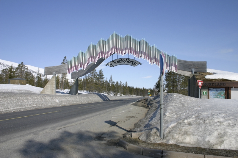
Deutsch: Einfahrt ins Nordland auf der E6
Norsk bokmål: Porten til Nord-Norge passeres på grensen mellom Nord-Trøndelag og Nordland
|
| Date | |
| Source | Norwegian (bokmål) Wikipedia, Bilde:Nordnorge.jpg |
| Author | Mr. Trond Henningsen |
| Permission (Reusing this file) |
The image was released under the terms of the GFDL by Mr. Henningsen when he uploaded it to the Norwegian (bokmål) Wikipedia |
| Camera location | | View this and other nearby images on: OpenStreetMap |
|---|
Licensing

|
Permission is granted to copy, distribute and/or modify this document under the terms of the GNU Free Documentation License, Version 1.2 or any later version published by the Free Software Foundation; with no Invariant Sections, no Front-Cover Texts, and no Back-Cover Texts. A copy of the license is included in the section entitled GNU Free Documentation License. |
| This file is licensed under the Creative Commons Attribution-Share Alike 3.0 Unported license. | ||
| ||
| This licensing tag was added to this file as part of the GFDL licensing update. |
File history
Click on a date/time to view the file as it appeared at that time.
| Date/Time | Thumbnail | Dimensions | User | Comment | |
|---|---|---|---|---|---|
| current | 20:42, 23 March 2006 | | 800 × 531 (300 KB) | Kjetil r | - |
File usage
There are no pages that use this file.
Global file usage
The following other wikis use this file:
- Usage on en.wikipedia.org
- Usage on is.wikipedia.org
- Usage on nn.wikipedia.org
- Usage on no.wikipedia.org
- Usage on se.wikipedia.org
- Usage on sv.wikipedia.org