File:Obcine Slovenija 2006 Trebnje.svg
Jump to navigation
Jump to search

Size of this PNG preview of this SVG file: 800 × 522 pixels. Other resolutions: 320 × 209 pixels | 640 × 418 pixels | 1,024 × 668 pixels | 1,280 × 835 pixels | 2,560 × 1,670 pixels | 2,613 × 1,705 pixels.
Original file (SVG file, nominally 2,613 × 1,705 pixels, file size: 2.36 MB)
This is a file from the Wikimedia Commons and may be used by other projects. Information from its description page there is shown below.
Commons is a freely licensed media file repository. |
Summary
| Description |
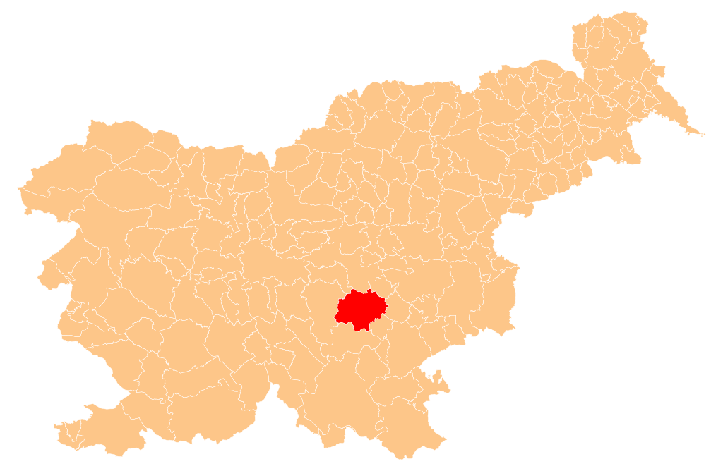
English: Občina Trebnje (marked red) on map of the municipalities (občine) of the Republic of Slovenia, as since May 2006 (210 units). |
| Date | |
| Source | Manipulated Image:Obcine Slovenija 2006.svg in text editor. |
| Author | Source of the public data is GURS (Geodetska uprava Republike Slovenije or Surveying and Mapping Authority of the Republic of Slovenia). Converted from Shapefile to SVG with shp2svg and prepared for Wikipedia by romanm (talk). |
| Permission (Reusing this file) |
Public domain. See Image:Obcine Slovenija 2006.svg for an explanation. |
Licensing
| I, the copyright holder of this work, release this work into the public domain. This applies worldwide. In some countries this may not be legally possible; if so: I grant anyone the right to use this work for any purpose, without any conditions, unless such conditions are required by law. |
File history
Click on a date/time to view the file as it appeared at that time.
| Date/Time | Thumbnail | Dimensions | User | Comment | |
|---|---|---|---|---|---|
| current | 05:24, 12 May 2009 | | 2,613 × 1,705 (2.36 MB) | Romanm | {{Information |Description={{en|1=''Občina Trebnje'' (marked red) on map of the municipalities (''občine'') of the Republic of Slovenia, as since May 2006 (210 units).}} |Source=Manipulated Image:Obcine Slovenija 2006.svg in text editor. |Author=So |
File usage
There are no pages that use this file.
Global file usage
The following other wikis use this file:
- Usage on en.wikipedia.org
- Frederic Baraga
- Pavel Golia
- Trebnje
- Alojzij Šuštar
- Template:Trebnje
- Kozjak Castle
- Arčelca
- Sela pri Šumberku
- Artmanja Vas
- Dobrnič
- Babna Gora, Trebnje
- Belšinja Vas
- Benečija, Trebnje
- Bič, Trebnje
- Veliki Gaber
- Blato, Trebnje
- Breza, Trebnje
- Cesta, Trebnje
- Dečja Vas, Trebnje
- Dobrava, Trebnje
- Dobravica pri Velikem Gabru
- Dol pri Trebnjem
- Dolenja Dobrava, Trebnje
- Dolenja Nemška Vas
- Dolenja Vas pri Čatežu
- Čatež, Trebnje
- Češnjevek, Trebnje
- Žubina
- Železno, Trebnje
- Žabjek
- Velika Loka, Trebnje
- Šentlovrenc
- Dolenje Kamenje pri Dobrniču
- Dolenje Medvedje Selo
- Dolenje Ponikve
- Dolenje Selce
- Dolenji Podboršt pri Trebnjem
- Dolenji Podšumberk
- Dolenji Vrh
- Dolga Njiva pri Šentlovrencu
- Gorenja Vas pri Čatežu
- Gorenji Podšumberk
- Korita, Trebnje
- Male Dole pri Stehanji Vasi
- Stehanja Vas
- Rožni Vrh, Trebnje
- Volčja Jama, Trebnje
- Zagorica pri Velikem Gabru
- Zidani Most, Trebnje
- Gorenji Vrh pri Dobrniču
View more global usage of this file.