File:Rhode Island Municipalities Westerly Highlighted.png
Jump to navigation
Jump to search
No higher resolution available.
Rhode_Island_Municipalities_Westerly_Highlighted.png (396 × 584 pixels, file size: 33 KB, MIME type: image/png)
This is a file from the Wikimedia Commons and may be used by other projects. Information from its description page there is shown below.
Commons is a freely licensed media file repository. |
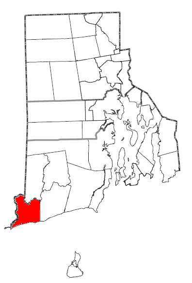
| Description | Map of the municipalities of the U.S. state of Rhode Island, with the town of Westerly highlighted in red. | ||
| Date | |||
| Source | Modified by me from this United States Census Bureau file. | ||
| Author | Nyttend | ||
| Permission (Reusing this file) |
US Government work is public domain, and my work is
|
File history
Click on a date/time to view the file as it appeared at that time.
| Date/Time | Thumbnail | Dimensions | User | Comment | |
|---|---|---|---|---|---|
| current | 19:00, 24 August 2008 | | 396 × 584 (33 KB) | Nyttend | {{Information |Description=Map of the municipalities of the {{w|U.S. state}} of {{w|Rhode Island}}, with the {{w|New England town|town}} of {{w|Westerly, Rhode Island|Westerly}} highlighted in red. |Source=Modified by me from [http://www2.census.gov/geo/m |
File usage
The following page uses this file:
Global file usage
The following other wikis use this file:
- Usage on it.wikipedia.org