File:SR 152 at SR 156 near Gilroy and Hollister, California 12-Feb-2010.JPG
Jump to navigation
Jump to search

Size of this preview: 800 × 550 pixels. Other resolutions: 320 × 220 pixels | 640 × 440 pixels | 1,024 × 704 pixels | 1,280 × 880 pixels | 2,373 × 1,632 pixels.
Original file (2,373 × 1,632 pixels, file size: 550 KB, MIME type: image/jpeg)
This is a file from the Wikimedia Commons and may be used by other projects. Information from its description page there is shown below.
Commons is a freely licensed media file repository. |
| Description |
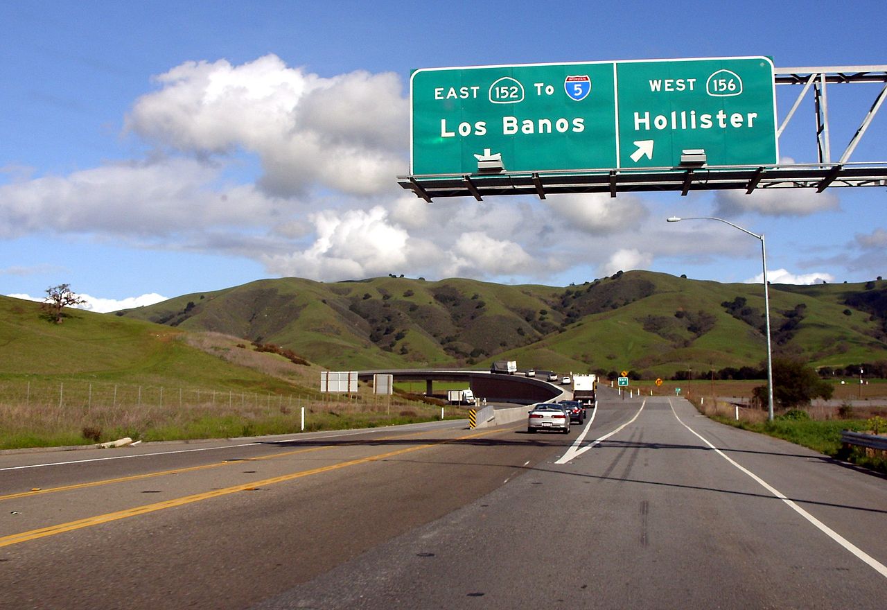
English: Drivers on California State Route 152 in Santa Clara County follow an overpass channeling traffic from the Gilroy area toward the Pacheco Pass, the main route connecting the southern San Francisco Bay Area and the Monterey Bay Area with the San Joaquin Valley.
|
||
| Date | |||
| Source | Own work | ||
| Author | Michael Patrick | ||
| Permission (Reusing this file) |
|
||
| Other versions |
| Camera location | | View this and other nearby images on: OpenStreetMap |
|---|
File history
Click on a date/time to view the file as it appeared at that time.
| Date/Time | Thumbnail | Dimensions | User | Comment | |
|---|---|---|---|---|---|
| current | 03:49, 13 February 2010 | | 2,373 × 1,632 (550 KB) | Michael Patrick~commonswiki | {{Information |Description={{en|1=Drivers on California's State Route 152 in Santa Clara County follow an overpass channeling traffic from the Gilroy area toward the Pacheco Pass, the main route connecting the southern San Francisco Bay Area and the Monte |
File usage
There are no pages that use this file.
Global file usage
The following other wikis use this file:
- Usage on en.wikipedia.org
- Usage on es.wikipedia.org
- Usage on www.wikidata.org